Tesla's Pivot to In-House Cartography Undercuts Years of Camera-Only Doctrine
The automaker is now engineering proprietary map data to solve FSD issues, reversing a long-standing stance against such infrastructure.
By Lauren Collins ·
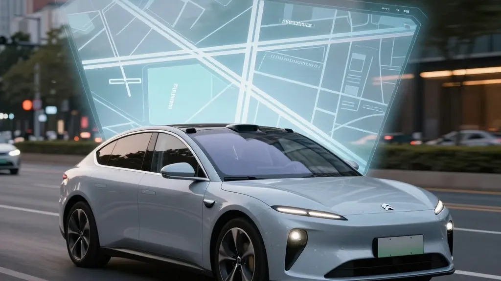
Tesla is building its own proprietary maps to address persistent failures in its Full Self-Driving system, marking a significant reversal for a company that has spent years arguing against the necessity of such infrastructure. The automaker's head of AI confirmed the development during the Q3 2026 earnings call, stating that a new AI-based mapping architecture will be utilized to correct navigation errors. This initiative represents a fundamental shift in strategy, as the CEO has previously characterized reliance on detailed maps as a design flaw that renders autonomous vehicles brittle.
The discussion originated during the shareholder Q&A portion of the call, where a retail investor inquired about ongoing issues regarding speed limits, parking, and route selection. The investor questioned why the company continues to rely on third-party data for these functions. Ashok Elluswamy, Tesla’s VP of AI, acknowledged the concern, stating, “we shouldn’t be depending on external people’s maps.” He explained that the company is now developing a proprietary mapping and navigation system designed to learn individual driver preferences and respond to voice commands.
The rollout for this new capability will occur in stages. According to Elluswamy, the technology will begin handling the initial and final segments of trips with the upcoming FSD v15 software release. Over the subsequent months, the system intends to assume full responsibility for navigation, parking, and destination handling. This transition to a fleet-generated map layer is intended to correct errors the current vision system cannot reliably resolve, particularly regarding traffic regulations.
The company’s stance on mapping technology has fluctuated over the past decade. When Autopilot launched in 2015, the firm told Fortune it had begun building high-precision maps with “100 times the level of granularity” of standard navigation tools. However, during the 2019 Autonomy Day presentation, Elon Musk explicitly rejected high-precision lane maps, labeling them a “huge mistake” and a “really bad idea” that renders a self-driving system “extremely brittle.” In that same presentation, he dismissed lidar sensors as a “fool’s errand,” signaling a commitment to a vision-only approach.
Current data suggests that the vision-only approach is encountering difficulties with basic environmental comprehension. Last month, a Belgian road safety group reported that FSD exceeded the speed limit in 55% of the 30 km/h zones tested in Brussels, averaging 44 km/h. This discrepancy occurred partly because the vehicle's display indicated a 50 km/h limit in most of those zones. Furthermore, NHTSA is currently weighing an investigation into reports that Robotaxis speed through active school zones, a matter concerning approximately 1,000 Model Y and Cybercab vehicles.
The company's new direction aligns its operations more closely with competitors such as Waymo. Waymo maps cities by driving sensor-equipped vehicles through them to launch service and maintains those maps as the fleet operates. Tesla is now describing a nearly identical process: its cars collect environmental data to feed a company-built map that improves driving performance for the entire fleet. The primary distinction remains the hardware, as Waymo vehicles utilize lidar sensors while Tesla relies on cameras.
This strategy also mirrors the current operational reality of Tesla's Robotaxi service, which runs city by city within small geofenced service areas. While the company is not currently describing a centimeter-level HD map, a continuously updating, fleet-generated map layer could eventually evolve toward that level of detail. This approach contrasts with previous statements made regarding the requirements for a true self-driving system.
While utilizing maps offers no inherent disadvantage—and a map derived from millions of vehicles could provide a strategic advantage—the pivot contradicts years of messaging. The company previously dismissed detailed maps and lidar as unnecessary crutches for competitors. Now, with a decade of development behind it, the firm is implementing a map layer to assist its AI in reading speed limits and navigating geofenced areas, functions it previously claimed could be achieved through vision alone.
Source: Electrek